Explore the subject of virtual stations, a cutting-edge integration of perspectives, revolutionizing hydrological and meteorological forecasts!
The rise of virtual stations has revolutionized the domain of hydrology, especially when it comes to monitoring of data. This concept, that is based on the crossroads of satellite altimetry and in-situ data, has not only transformed the precision of forecasts but also expanded the geographical scope to formerly inaccessible areas.
Moreover, virtual stations have applications in domains such as meteorology when it comes to weather forecast estimations in places with no physical meteorological stations. People that are located in remote places without access to regional meteorological information benefit greatly from these interpolated forecasts.
Let us dive into the history of virtual stations, how they have evolved, and understand why BWI place uses this groundbreaking approach!
Virtual stations came into picture as a response to the constraints of the traditional river discharge monitoring methods. Physical monitoring stations, although accurate, had several limitations, especially in terms of quantity and scope. Therefore, it was hard to get a complete picture of river dynamics solely through them.
The emergence of virtual stations marks the beginning of a new era, utilizing modern technologies to create a virtual network of monitoring points that make geographical constraints irrelevant.
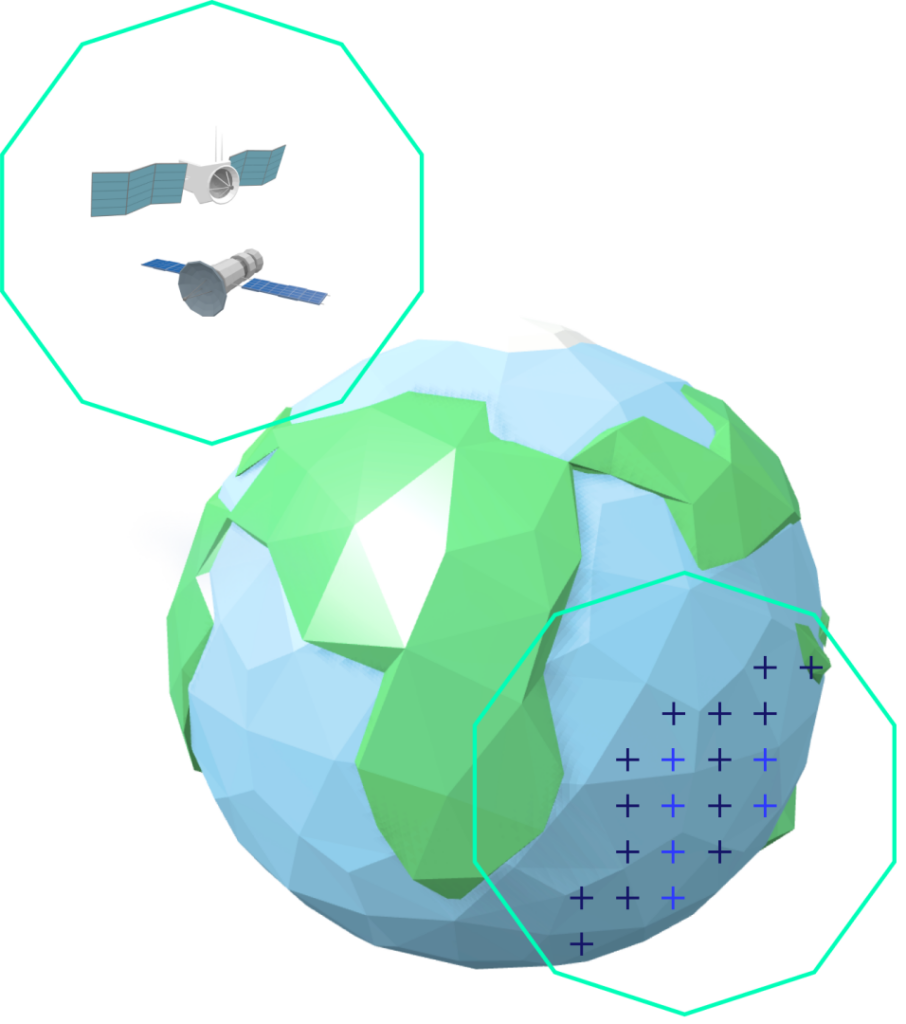
The concept of virtual stations evolved in connection with satellite altimetry, a technology that is related to calculating water surface heights from space. The accuracy and precision of altimetry data have evolved significantly, offering a global perspective on river dynamics. Satellite altimetry not only proves to be cost-effective but also opens up monitoring possibilities in previously inaccessible or underrepresented areas.
Virtual stations integrate both local and global viewpoints by bridging the gap between in-situ observations and satellite altimetry. Ground truthing relies on in-situ data collected directly from the river environment to validate information. Virtual stations are now more accurate and reliable thanks to this, which makes them a great tool to forecast river discharge.
Virtual stations, digitized measurement points on rivers, aid BWI in creating a network of location points without the need for physical ground stations. This allows us BWI to predict river discharge with great precision and at a larger geographical scope.
If you would like to learn more about how the concept of Virtual Stations came into being, feel free to check out the Bibliography below!