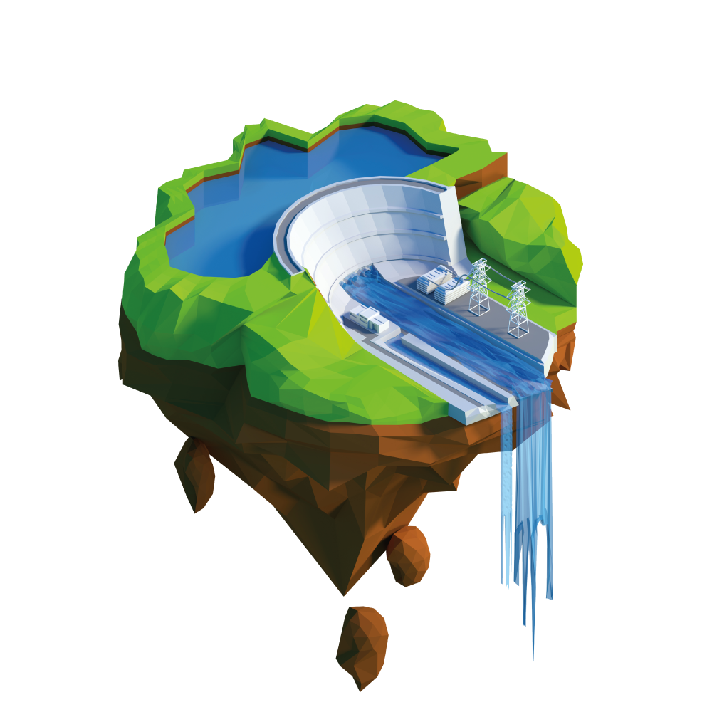
BWI brings together data from ground stations, remote sensors (satellites, precipitation radars…) and weather forecasts to compile accurate predictions of floods and droughts.
Services to forecast water levels, volumes and water quality of water bodies, and to predict river discharge.


BWI brings together data from ground stations, remote sensors (satellites, precipitation radars…) and weather forecasts to compile accurate predictions of floods and droughts.
Physical models relying on DEMs, hydrological models and machine learning enable for the acceleration of climate change to be taken into account in BWI’s forecasts.
Threatened areas identification (based on water levels and river discharge) and multi-channel targeted flood early warning systems are actionable depending on risk (population and infrastructure).

BWI continuously reports on current water levels and volumes of surface water bodies.
Continuous predictions about the variability of your reserves: evaporation, natural refills of water reserves from rain and snowfall,…
BWI monitors water quality indicators such as: water temperature, turbidity, algae bloom,… and provides alerts whenever risk thresholds are met as well as simulations on the potential propagation of the pollution towards sensitive areas.
Integrating data to your existing websites and hydraulic and hydrologic information systems is made smooth thanks to BWI’s well-documented API.
Stakeholder communication tools include automated newsletters, but also a web portal that can either be made public or kept private.
Your data is kept safe and confidential, as we make sure we implement software security best practices.


Create an account online, select your plan and start drawing value from your BWI water hazard forecasting service in a matter of minutes.
Adapt the coverage of the BWI inland water predictions tool to your needs, over time.
Your named customer success manager at BWI is always here to pick up the phone and answer your questions.

Utilizing 10-day forecasts to implement prevention measures, saving countless lives and property.
Using discharge forecasts, you can build resilience when it comes to flood events.
Facilitate knowledgeable decision-making for land use planning and development in flood-prone areas, reducing risks and related costs.
By integrating discharge forecasts into disaster prevention plans, you can enable optimized resource allocation.
Results in efficient risk communication and coordination during flood events. Besides, it helps raise awareness when it comes to water management practices.
BWI specializes in the forecasting of inland surface water reserves around the globe. BWI brings together in-situ data, spaceborne observations and machine learning to feed and empower hydrological and hydrodynamical models. A provider of online subscription-based virtual continental freshwater monitoring stations, BWI aims to make scalable – across space and time – hydrological software to address climate change induced water stress.
Request a demo