Geodata is quietly becoming an operational tool for anticipating hydrological crises. That shift was visible everywhere at the 9th GeoDataDays in Tours, France, where BWI spent two days in the Village spatial.
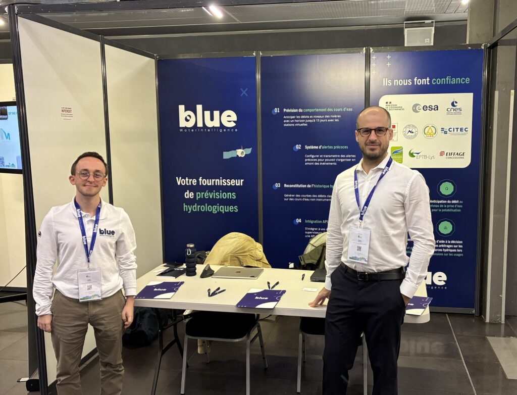
On 16 and 17 September 2026, the Palais des Congrès in Tours hosted the 9th edition of the GeoDataDays, the national event of France’s geospatial sector, organised by Afigéo. BWI took part as an exhibitor, with a stand in the Village spatial, alongside public and private actors of the field.
Over two days, the event confirmed its role as the national meeting point for geospatial data in the service of territories, with a marked focus on climate, the environment and water management, and showed how geodata is becoming an operational tool to anticipate hydrological crises and strengthen local resilience.
Conferences and workshops highlighted the role of geographic and space-based data in understanding the impacts of climate change and designing adaptation pathways at territory level. Discussions covered urban heat islands, climate risks, low-carbon trajectories and the environmental indicators available to assess the resilience and robustness of public policy.
On the water side, several sessions showed how remote sensing, satellite imagery and GIS are used to monitor droughts, floods and pressure on the resource, through applications dedicated to hydrology and risk. Experts including Cerema took part in sessions on water management, illustrating how geodata informs the decisions of local authorities on water uses, networks and infrastructure planning.
FloodCARE was a good illustration of this: the solution offers rapid flood monitoring by combining satellite observations, in-situ data and hydrological modelling, to produce actionable flood maps for crisis management and emergency services.
The Village spatial and partners such as CNES and Airbus put the emphasis on access to very high resolution Earth observation data, and on new applications built around satellite constellations and digital twins. The call for projects on Pléiades Neo data and the Space Climate Observatory workshops both showed how these datasets can be mobilised for climate and hydrology.
The event played its full role as a crossroads between local authorities, engineering firms, geodata software vendors, space companies and academia. Alongside strictly environmental applications, solutions were shown that help citizens choose where to settle in France by combining climate, pollution, risk, employment and housing indicators, a shift from technical geomatics towards tools for residential strategy and territorial attractiveness.
The strong presence of geomatics and geotechnical students illustrated the dynamism of the sector, and the continued need to meet in person to build long-term collaborations, beyond digital platforms alone.
For BWI, taking part follows a clear logic: contributing to the use of geodata for hydrology, integrated water resource management and climate resilience, in dialogue with a national ecosystem that is actively structuring itself.