The Space4Water Conference gathered leaders from the space and water communities in Paris for a day of dialogue on turning satellite data into better water decisions. A recap of the highlights.
On September 11, 2026, we had the pleasure of hosting the Space4Water Conference at the Institut de Physique du Globe de Paris (IPGP), supported by the United Nations Office for Outer Space Affairs (UNOOSA) and under the patronage of the Ministry of Higher Education, Research and Space, as a side event of the first International Space Summit and a contribution to the UN Water Summit taking place in Abu Dhabi this December.
The day brought together around 100 participants from 20 countries for five hours of high-level exchange. The idea behind it was simple, and a little ambitious: to put in the same room the people who work on satellites, the people who manage rivers, and the people who finance both. These three communities rarely sit together for a full day, and the conversations that followed showed why they should.
We were honored to open the day with voices from the highest level of the space and water communities. H.E. Philippe Baptiste, French Minister for Higher Education, Research and Space, followed by Aarti Holla-Maini, Director of the United Nations Office for Outer Space Affairs (UNOOSA), the Director of the Institut de Physique du Globe de Paris, the President of the Council of the African Space Agency, the CEO of the Rwanda Space Agency, and the Director of the Center for Digitalization and Monitoring of the Water Sector at Uzbekistan’s Ministry of Water Resources.
Their addresses set a common frame for everything that followed. As Barbara Pompili, French Ambassador for the Environment, put it in her closing remarks, “water lies at the heart of any sector” – from food security to energy to disaster resilience. Water is no longer a secondary application of space programs but one of the clearest demonstrations of what they are for, and the countries that most need this data are increasingly the ones building the capacity to use it themselves.
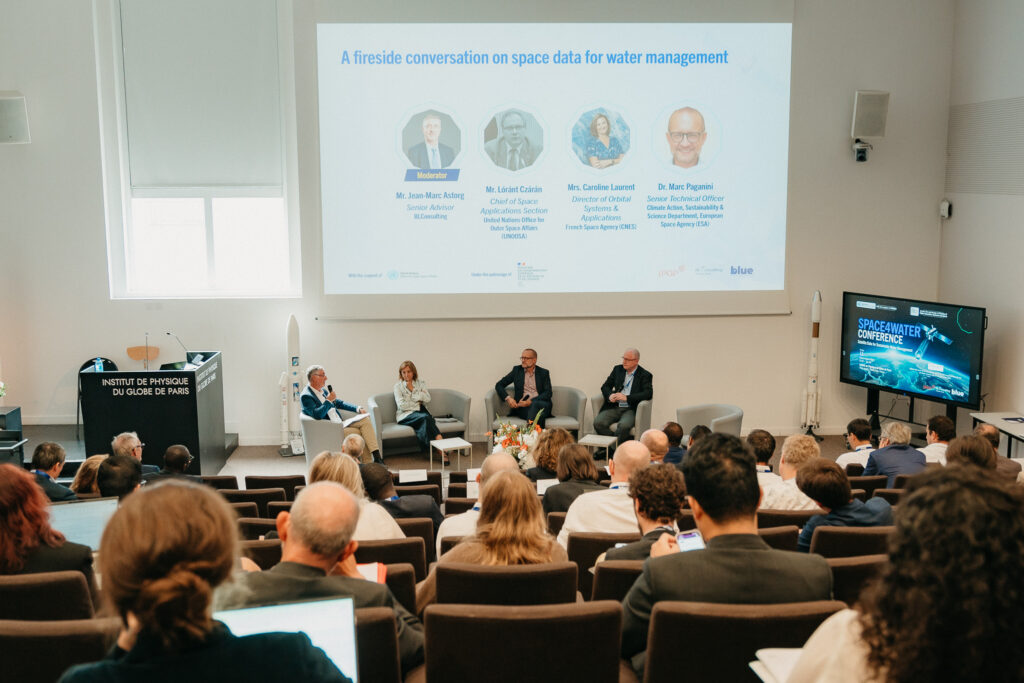
With that frame in place, the first conversations turned to the science.
Earth observation has quietly transformed what hydrologists can measure. Satellite geodesy now detects groundwater depletion and glacier mass loss from the deformation of the Earth itself. Altimetry tracks river levels in basins that have never had a functioning gauge network. In high mountain environments, where ground measurement has always been hardest and most expensive, remote sensing has become the only realistic way to observe the water cycle at scale.
The researchers who took the stage work across the Himalayas, West Africa and South Asia, and their message was consistent: the observational gap that defined hydrology for decades is closing, and it is closing fastest in precisely the regions where data was most scarce.
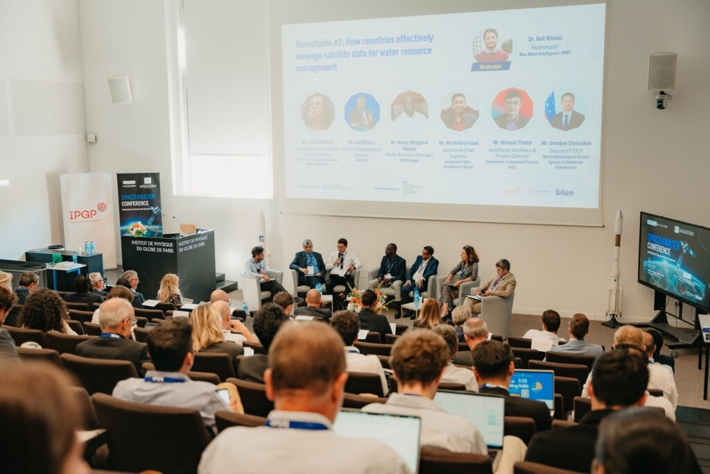
Seeing more is not the same as managing better. The central session of the day brought together water administrations from Slovenia, Bangladesh, Senegal, India and Uzbekistan, alongside UNESCO, to talk about what happens after the data exists.
What emerged was a familiar set of obstacles, described in remarkably similar terms across very different basins. Data is often available but not usable, sitting in formats or institutions that cannot feed an operational decision. Monitoring networks are expensive to build and harder to maintain. And a forecast only has value where someone has the mandate, the capacity and the confidence to act on it.
This is where the real value lies: turning a global view from space into decisions people can act on locally – from a national ministry to a single family farm, and often across borders. That link is what many of the states in the room cared about most. The countries represented on that stage are each answering these questions in their own way, from national digital water platforms to transboundary basin cooperation. Hearing them in sequence made clear that the remaining challenge is less technological than institutional.
Which leads to the question that decides whether any of this reaches the ground.
The final session put a national treasury, a multilateral development bank, a bilateral development agency and an export credit agency on the same stage, alongside operators who raise money in this market. Financing for space-based water services sits awkwardly between established categories. It is not quite infrastructure, not quite technical assistance, and rarely large enough to fit the instruments designed for dams and pipelines.
The discussion was candid about that friction, and equally clear that the instruments exist. Blended approaches, export finance and pilot funding can all carry these projects, provided they are structured around a demonstrated operational need rather than a technology looking for a use. That condition came up in every session of the day.
If one thing united the day, it was a growing consensus – across science, administration and finance alike. Water management is a defining challenge of our time. Real-time and predictive water data is now essential to meeting it. End-to-end tools that turn that data into decisions are what make it actionable. None of it works without all the actors around the table. And the time to act is now.
That consensus is the real outcome of Space4Water – a shared starting point for the work ahead.
Our thanks to IPGP for hosting us, to UNOOSA for its support of the event, and to every speaker who traveled to be there and shared their experience with us.