High-revisit altimetry space infrastructure

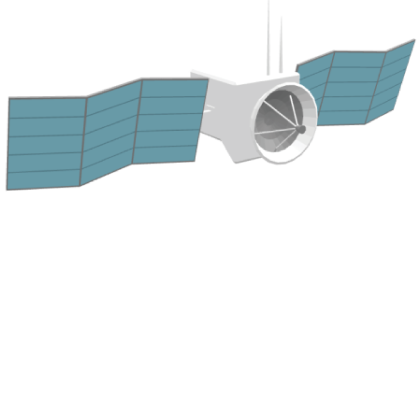
BWI is developing a constellation of 10 satellites equipped with miniaturized altimeters to measure daily water levels of continental waters worldwide at an affordable cost. This project will provide significant contributions to science, public policy development, and business management. The first phase of the project, based on the construction and launch of 2 satellites, is currently underway, in partnership with CNES.

SMASH abstract

A constellation of nanosatellites equipped with miniaturized altimeters

At least 30,000 daily freshwater level measurement points accessible through space sensors.

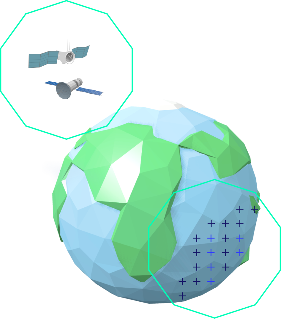
At least 30,000 and up to 50,000 virtual stations will provide daily water level measurement data worldwide thanks to a constellation of 10 nanosatellites. In the long term, BWI aims to reach 80 nanosatellites in orbit in order to maximize global geographical coverage.

A virtual station is located at the intersection of satellite tracks (500 km intersections with 2 satellites, 300 km intersections with 10 satellites) and continental water bodies. These stations measure the daily water height at the same hydrographic point.

A visit of the major hydrological basins up to twice a day.

Thanks to its satellite constellation, BWI will be able to revisit the planet’s major hydrological basins up to twice a day. This unprecedented frequency will make it possible to obtain near real-time estimates of water body elevations, providing a detailed and updated view of their evolution. Managers will thus have reliable and responsive information to anticipate risks and adapt their decisions.

A two-step project: first a demonstrator, then a constellation

In the first phase, a demonstrator of 2 nanosatellites will be launched to validate the scientific, technological, and commercial assumptions (see below). Then, we plan to launch a constellation of 10 nanosatellites, which will be expanded to 80 nanosatellites. The extension of the coverage will take place over more than a decade, by reducing inter-track spacing and increasing revisit rates.

Focus: the REVALTO mission

Launch of the first two satellites

BWI is preparing to deploy its first two satellites dedicated to hydrological altimetry. Equipped with innovative technologies, they will provide precise and frequent measurements of surface water levels. This first step marks the concrete beginning of the constellation that will transform global hydrological monitoring.

Lasting benefits for water management

In the long term, this space infrastructure will provide daily monitoring of rivers, lakes, and watersheds. It will strengthen hydrological models, enable more effective anticipation of floods or droughts, and improve resilience to climate change. The data generated will thus serve as a source for science and as a strategic tool for public and private decision-makers.

A strategic partnership with CNES

This project is supported by the Centre National d’Études Spatiales (CNES) as part of the France 2030 plan. This partnership strengthens the scientific and technological credibility of BWI, while embedding the company within a national dynamic of innovation. Together, BWI and CNES are paving the way for a French benchmark sector in space-based hydrological observation.

Press release of the REVALTO mission (formerly H2R for high-revisit hydrology)

On June 26, 2025, BWI won the CNES (Centre National d’Études Spatiales) call for tenders to develop an innovative global hydrological monitoring service using satellites and artificial intelligence. The contract concerns the provision of services based on accurate and daily water height measurements across all global basins, thanks to sensors embarked on a unique constellation of satellites worldwide. The conclusion of this contract falls within the framework of the France 2030 program, led by the Directorate General for Enterprises (DGE), the Directorate for Research and Innovation (DGRI), and the Directorate General of Armaments (DGA), with the General Secretariat for Investment (SGPI).

Read the press release

An eagerly awaited climate resilience space infrastructure

A daily measurement of water levels

Existing continental freshwater altimetry missions have disadvantages, such as slow repeat cycles resulting in hydro-climatic disaster blindness. Rivers and lake water levels are essential variables according to the Global Climate Observing System (2024), which recommends their daily measurements.

A high temporal resolution, the missing link of continental altimetry missions on freshwater.

The BWI constellation, of high temporal resolution, is the perfect complement to large-swath hydrological satellites such as SWOT. For example, the soon-to-be Sentinel-3 TOPO NG has much higher spatial resolution but lower temporal frequency.

A tool for science, for policy-making, and for business

BWI’s constellation will provide inland water level data for free to the scientific community, and the data will be made available after the purchase of subscription plans to governments and businesses.

A breakthrough for hydrology and freshwater resource management operational applications

1-day revisits will revolutionize Earth Observation, given that current satellites’ repeat cycles are between 10 and 90 days! Global water level data points, updated daily, will help advance the state-of-the-art on our understanding of the water cycle.

.pdf brochure

BWI’s contribution: additional expertise in hydrology

Climate change

BWI constellation economic advantage

Ground measurement stations cost approximately 5000€ per year (incl. installation & maintenance). One virtual measurement station (acquired by a space sensor) costs approximately 250€ per year (excl. downstream hosting, sales & marketing costs), assuming a global network of 30.000 virtual stations. The BWI constellation will divide existing freshwater height monitoring costs by a factor of 20!

Scale on-demand

Every 24 hours for ascending and descending tracks (separated by ~12 hours).

All satellites are on a Sun-Synchronous Orbit (SSO)

Optimized launch & maintenance costs as our architecture requests just 1 launch to set all 10 nanosatellites on the same orbital plane.

BWI constellation partners 

A legacy of excellence

The SMASH (Small Altimetry Satellites for Hydrology) concept, born at LEGOS and designed at CNES (Phase A completed), is an important source of inspiration. CNES has a long history of contributing to altimetry missions, ranging from TOPEX-Poséidon launched in August 1992 to SWOT launched in December 2022—two satellites co-developed with NASA’s JPL. LEGOS (Laboratoire d’Études Géophysiques et Océanographiques Spatiales) is a joint research unit (UMR5566) under the supervision of CNES, CNRS, IRD, and UT3 at the Observatoire Midi-Pyrénées in Toulouse (France). The scientific fields of research and teaching at LEGOS include oceanography and the water cycle in a broad sense, with the physics of oceanic, hydrological, cryospheric, and atmospheric components, including coastal and climate aspects, as well as marine biogeochemistry and geochemistry. The specification of the SMASH mission was drafted by a scientific group led by Prof. Denis Blumstein at LEGOS, and SMASH was subsequently developed at CNES until the completion of Phase A at the end of 2022. In 2024, CNES launched a call for tenders known as High-Revisit Hydrology (H2R), won by BWI, which named the mission REVALTO (Revisiting Altimetry Hydrology).
They support the mission 

Get river flow and water level forecasts

BWI specializes in providing near real-time estimates and forecasts of inland surface water bodies around the globe. It combines in-situ data, spaceborne observations, and machine learning to feed and empower hydrological and hydrodynamical models. Through an online, subscription-based service, BWI aims to make scalable – across space and time – hydrological software to address climate change-induced water stress.BWI also strives to launch a constellation of 10 smallsats equipped with miniaturized altimeters to monitor inland water levels globally.
Express your interest