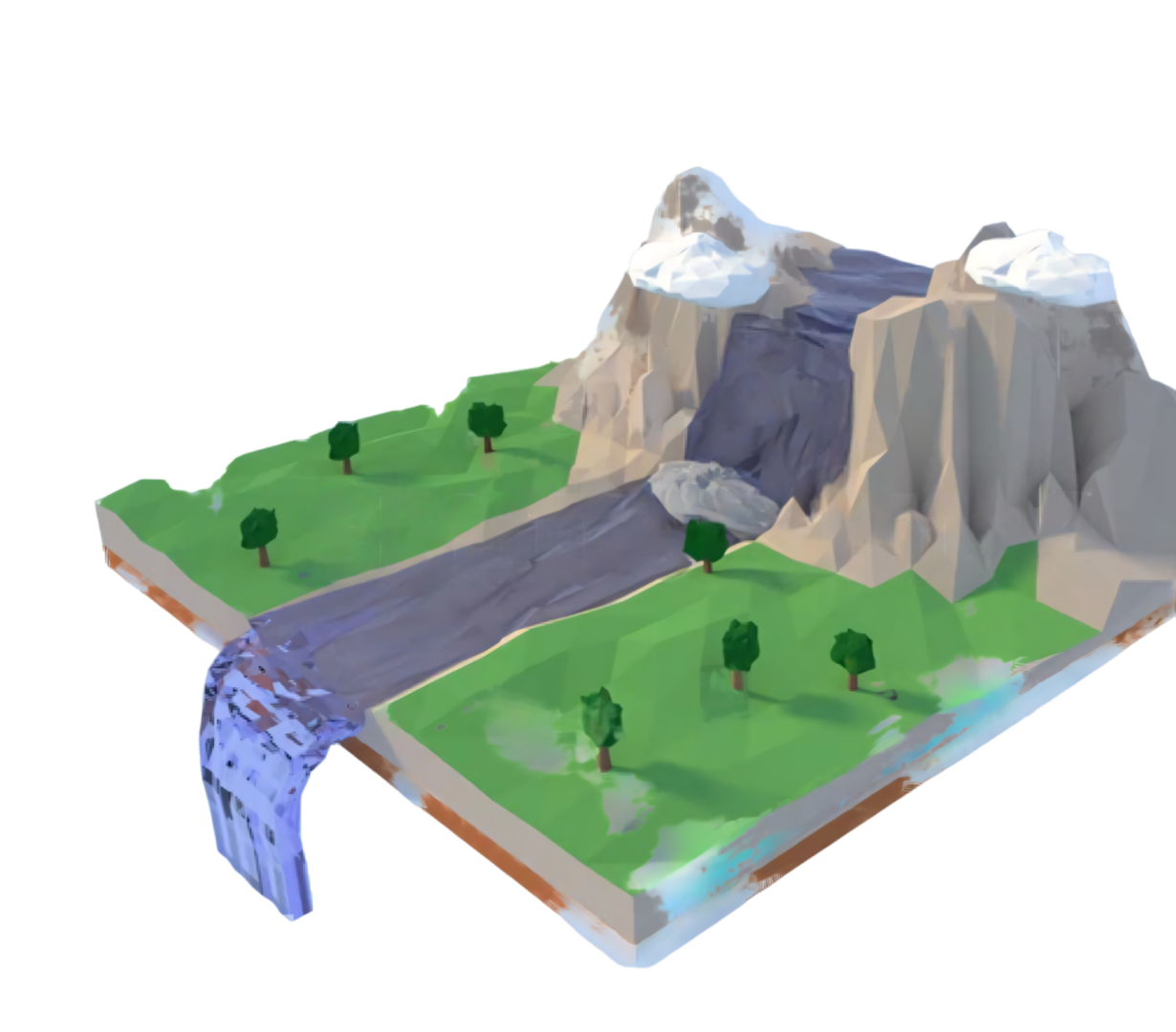
Get remote hydrological forecasts thanks to BWI’s virtual stations

The hydrological forecasting system developed by BWI provides river flow estimates from virtual stations deployable at any point of any hydrographic network. BWI is also able to provide water level forecasts at the location of existing physical stations. This model-based forecasting method relies on the clients’ existing infrastructure and offers many innovative features, such as early warning of flood risk or reconstructing hydrological knowledge over the past twenty years.

What data does the BWI system provide exactly?

Quantitative hydrological forecasts

The BWI system is currently able to provide flow forecasts and, under certain conditions, water level forecasts for digitized watersheds. The chosen interval for these forecasts is 10 minutes, in order to make them useful for the detection of flash floods and for the operation of hydraulic equipment. The forecasting horizon is 10 days. At 10 days, these are projections. At a few days, they can be considered forecasts. BWI is also able to reconstruct ranked flow curves over a minimum of twenty years.

Water quality monitoring

BWI has developed a water quality monitoring system using mobile tethered atmospheric balloons. Their purpose is to enable users to monitor the water quality of rivers, streams, and lakes, and to trigger alerts when necessary. In addition, BWI has successfully carried out R&D work on the detection of plastic patches on lakes and rivers through satellite image processing. BWI now aims to make this service operational and is seeking an anchor customer to do so.

Understand how BWI works and discover the associated services

The functioning of BWI’s hydrological forecasting system

Our technology combines weather data, hydrological observations, and advanced modeling to anticipate river behavior. This system provides reliable and continuous forecasts, adapted to the specificities of each watershed. It thus delivers a clear and actionable view of the evolution of flow rates and water levels.

Set up an early warning system

BWI’s forecasts make it possible to detect flood, drought, or critical river variation risks upstream. These early warnings provide stakeholders with the necessary time to prepare and act. They strengthen the resilience of territories in the face of hydrological hazards.

Seamless integration through our API

Our solution is designed to easily integrate with your existing tools through a simple and flexible API. It does not require any additional software, avoiding unnecessary technical complexity. Deployment is therefore fast, seamless, and immediately operational.

What are BWI’s hydrological forecasts used for?

Anticipate the behavior of a river

BWI’s hydrological forecasts make it possible to understand and anticipate the response of a river or watershed in terms of flow and water level. These forecasts provide a precise view of its evolution over the coming days (up to 10 days), enabling beneficiaries to anticipate the medium-term behavior of the monitored area and episodes of flooding or stress on the resource.

Optimize the use of water resources

BWI’s hydrological forecasts help improve water use planning by taking agricultural, industrial, and domestic needs into account. These forecasts enable public authorities and local stakeholders to optimize the use of the resource by anticipating the evolution of river or watershed behavior. Thus, every drop of water is valued at the right time and in the right place.

Densify the monitoring network of the hydrographic system

BWI’s hydrological forecasts complement existing measurement infrastructures by providing simulated data where no sensors are installed. These forecasts thus enhance the overall understanding of the hydrographic network by covering areas that were previously little monitored or by increasing accuracy in monitored areas through a multiplication of observation points. This dual densification, both temporal and spatial, makes it possible to obtain a continuous and coherent view of water dynamics across a territory.

Reconstruct the hydrological history

By replaying twenty years of past precipitation history, BWI’s hydrological forecasts make it possible to reconstruct flow duration curves, even for structurally non-instrumented watersheds. These flow duration curves reflect the frequency and intensity of flow regimes, thus providing a clear view of the river’s past behavior. They form a solid foundation for building hydrological knowledge, comparing periods through time series analysis, identifying trends, and supporting long-term water resource management.

Benefit from an additional decision-support tool

BWI’s hydrological forecasts provide decision-makers with a complementary tool to anticipate and manage water-related risks. By delivering clear and reliable projections, these forecasts enhance situation analysis and reduce uncertainty for political or economic decision-makers. Supported by early warning features, this assistance facilitates the implementation of tailored strategies, whether for flood prevention, investment in hydraulic infrastructures, or crisis management.

Clear and targeted expertise on water resources

Monitoring of continental surface waters

BWI focuses its expertise on the observation and forecasting of rivers, lakes, and watersheds. By concentrating exclusively on continental surface waters, BWI’s models ensure optimal accuracy tailored to local challenges. BWI does not deal with oceanic hydrology in order to remain focused on its core expertise.

The provision of hydrological data

BWI is a service operator that provides hydrological data based on a proprietary watershed digitization system. BWI’s purpose is not to deliver consultancy but to establish reliable and actionable hydrological estimates. By supplying clear, continuous, and as accurate as possible data, BWI enables public stakeholders and private operators to build their own strategies in response to river behavior. This operational approach ensures the independence of your decisions while relying on a robust scientific foundation, reinforced by artificial intelligence — specifically neural networks.

A complementary tool to existing systems

Rather than imposing external software, BWI provides a simple and efficient API. This solution integrates easily into existing systems without disrupting tools or user practices. BWI enriches its clients’ existing infrastructures by adding an additional hydrological layer that facilitates both situation analysis at the scale of a point of interest or a basin (as in the case of numerous virtual stations) and decision-making. BWI also offers a user interface if required.

Technologies under development

High-revisit altimetry satellite constellation

BWI is developing a satellite constellation project capable of continuously measuring the water levels of rivers and lakes. Thanks to a high revisit frequency, we can accurately monitor variations in water levels, even in poorly instrumented areas. At least 10,000 water level measurement points, updated every 48 hours, will be made available from the first two satellites, scheduled to be launched in mid-2028. This space infrastructure guarantees wide, regular, and independent coverage compared to traditional sensor networks. The demonstration is planned to be extended to 10 satellites, in which case the constellation would measure continental surface water elevations every 24 hours, with 20,000 measurement points.

Balloons for water quality monitoring

BWI is working to complement its hydrological forecasts with innovative water quality monitoring. Autonomous balloons, equipped with sensors, enable continuous collection of data on key parameters. These tethered atmospheric balloons are designed to address the challenges of monitoring continental water resources at the scale of a watershed — as they are mobile and can be towed on a trailer behind a simple SUV. This is a technology already developed (TRL6-7), which only awaits its anchor customers to enrich your global vision of water resources.

Stratospheric balloons for meteorological monitoring

BWI is working on an R&D project involving stratospheric balloons for meteorological observation and is therefore looking for industrial partners providing COTS payloads! The targeted platforms are expected to reach maturity by 2028, and BWI is preparing for test flights by 2030.

Contact BWI

for any questions

    1