7 experts in space hydrology, from several continents and research institutes, discussed the benefits of a constellation of small altimetry satellites dedicated to updating continental surface water levels on a daily basis.
As the UN Water Conference in New York has highlighted, climate change is exacerbating both water scarcity and water-related hazards. This is a result of rising temperatures disrupt precipitation patterns and the entire water cycle. Water and climate change are inextricably tied, and in complex ways.
However, ‘you can’t manage what you can’t measure’. Therefore, if we are to succeed in achieving SDG#6, we must ensure there exists relevant data.
The need for inland water levels data is why this event focused on the benefits to hydrology, as a science. Moreover, to hydrological applications, of a constellation of satellites dedicated to updating 30,000 water level measurement points everyday.
On Monday, April 24th at 1:30 PM CET, this panel discussion brought together some of the very best researchers to share insights into how inland water monitoring space missions contribute to many breakthroughs, among others in science.
This event has been organized under the high patronage of CNES, the French Space agency.
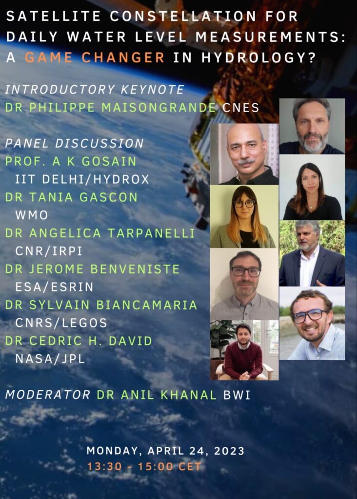
Our panel was made of:
– World Meteorological Organization’s (WMO) Dr. Tania Gascon
– Dr. Angelica Tarpanelli of Consiglio Nazionale delle Ricerche (CNR) / IRPI
– European Space Agency – ESA’s Dr. Jérôme Benveniste
– Dr. Sylvain Biancamaria of Centre National de la Recherche Scientifique (CNRS) / LEGOS
– NASA Jet Propulsion Laboratory’s Dr. Cédric David
– Prof. A K Gosain of Indian Institute of Technology, Delhi / HydroX
– Dr. Philippe Maisongrande of CNES
– Dr. Anil Khanal of BWI
These experts in space hydrology, from several research institutes, discussed the benefits of a constellation of small altimetry satellites. These are dedicated to updating continental surface water heights on a daily basis.
For those who’ve missed it or feel like watching again, here’s the replay of the webinar:
Thank you for viewing the replay of the virtual panel discussion on the prospect of an upcoming nanosatellite constellation to monitor the water level of lakes and rivers globally with daily revisit.
We also want to thank our panelists Dr. Philippe Maisongrande (CNES), Dr. Angelica Tarpanelli (CNR), Dr. Cédric H. David (NASA), Dr. A.K. Gosain (IIT Delhi), Dr. Sylvain Biancamaria (LEGOS), Dr. Jérôme Benveniste (ESA) and Dr. Tania Gascon (WMO) for their insightful talks and discussion.
The panelists highlighted that less than 1% of the total water on earth is reachable. The International Resource Panel predicts the water demand to exceed supply by 40% in 2030 under current trends. Population growth (estimated +2 billion by 2050) together with global warming will increase pressure in energy, food, potable water supplies, and biodiversity. Hydrological risks (flood and droughts) are increasing in frequency and amplitude. Panelists unanimously voiced the need for integrated water resource management. The existing in situ data is too few and heterogeneous to be able to capture the dynamics of surface water at different scales. Lack of data sharing mechanism in transboundary basins further complicates the situation. Space borne observations have proven valuable in recent times. Most surface water observation (pre-SWOT) has been opportunistic and lacks the spatial-temporal resolution for water resource management and flood forecasting applications at different scales. A SMASH-style constellation of ten low-orbit altimetric nanosatellites in SSO could monitor daily water levels at 30,000 virtual stations (water bodies).
Panelists insist on the importance of multi-mission spaceborne observation (which the constellation would be part of) to complement the in situ measurements for monitoring various parts of water cycle (budget). The proposed constellation could be a game changer in data poor regions for water resource management and flood forecasting. Apart from monitoring the surface water dynamics at a daily scale, a SMASH-style constellation would provide valuable data to calibrate hydrological/hydrodynamic models and to predict the operation of reservoirs (often not available to public/scientists). Both attendees and panelist agreed on the need for further research and publication of possible use-cases of the SMASH-style constellation.
Despite its promising outlook, financing, and data governance, intricately linked to each other, are the main challenges in realization of the SMASH-style constellation.